Spotlight
-
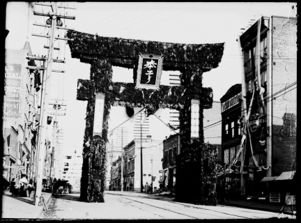
This section will help you find information in the Vancouver Public Library on Japanese Canadian history.
-
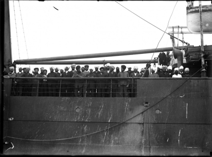
This page will help you find material in Vancouver Public Library on the Komagata Maru. In 1914 a group from India sailed to Canada in order to challenge the policies that kept non-white people from immigrating to Canada.
-
This page will help you find material in Vancouver Public Library on the history of Indo-Canadians in Canada.
-
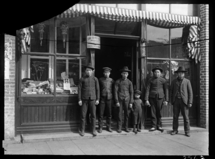
Find information in the Vancouver Public Library on Chinese Canadian history, from the early years to the present day.
-
The resources in this section will help learn more about the climate of BC in the past and track how it has changed over the years.
-
Main Street has long been considered the rough dividing line between the eastern and western part of Vancouver. Westside Vancouver neighbourhoods include Fairview, Marpole, Kitsilano, West Point Grey, Dunbar, Kerrisdale, and Shaughnessy.
-
Main Street has long been considered the rough dividing line between the eastern and western part of Vancouver. East Vancouver neighbourhoods include Commercial Drive (aka Grandview-Woodland), Mount Pleasant, Champlain Heights, Collingwood, Punjabi Market, and Kensington.
-
The peninsula that contains the West End and Downtown is the most densely populated area of Vancouver and also contains Stanley Park, its largest green space. Mole Hill, Yaletown, Coal Harbour, the Central Business District, Davie Village, Robson, and Granville Streets are all areas within these neighbourhoods.
-
Hogan's Alley on the east side of Vancouver was part of a larger black community in Vancouver’s historic Strathcona neighbourhood.
-
Chinatown was originally the only place in Vancouver that white settlers allowed people of Asian descent to reside. It is the largest historical Chinatown in Canada and is located in the Downtown Eastside area of the city.


